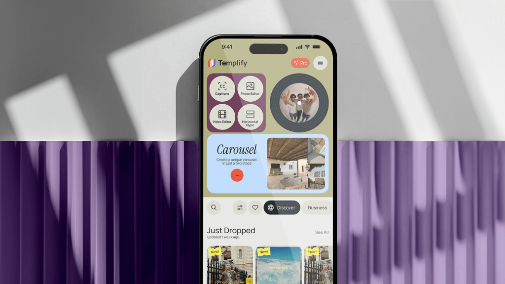
How Templify automated nearly half of customer support and cut tooling costs by 89%.
AI-native customer support and automated subscription management. 89% reduction in tooling costs, 48% of tickets fully automated, and 5.900% faster response times.
AI-native customer support and automated subscription management. 89% reduction in tooling costs, 48% of tickets fully automated, and 5.900% faster response times.
AI orchestration across customer support, content moderation, and ops. Same business outcomes, 58% smaller team, fully documented handover.
AI-augmented engineering practice across architecture, code generation, testing, and review. Faster delivery on a smaller team, in a regulated healthcare environment.
Engineering velocity overhaul on a legacy codebase: AI-augmented development workflow, automated QA, and refactored architecture. Real AI in the build process — not in the pitch deck.
Two ways to start. Both get a real response from someone senior — within one business day.
Pick a time directly on our calendar. You'll talk with a senior strategist and walk out with a written feasibility scope — even if you don't hire us.
Tell us what you're working on. Our sales lead, with technical input from one of our architects will review it and reply within 1 business day with concrete next steps — not a sales sequence.